Piergiorgio (PJ) Roveda
Urban Planner & GIS Developer
Charting cities, populations, and throughfares in preparation for tomorrow's solutions.
GIS expert managing geospatial data to support a variety of project and client needs. I specialize in programming, data analysis, and software development for GIS applications. As an active contributor on YouTube's online QGIS tutorials channel and various Open Source community projects, I am dedicated to sharing knowledge and advancing the field of GIS.
Using data to make informed decisions via customized dashboards, I transform raw data into actionable insights. I also focus on retrieving or reversing decisions back into data form, which can be interpreted as analyzing outcomes or the feedback loop in decision-making. This approach resonates well with developers, data scientists, and technically-inclined decision-makers.
Experience
22 Years of GIS & GeoBI Expertise: Leveraging extensive experience to support your business with tailored Open Source GIS solutions, creating customized and advanced workspaces for optimal performance.
Specialties
Experienced Urban Planner with a Master's degree from Politecnico di Milano, I specialize in the comprehensive planning of municipalities, mobility infrastructure, public spaces, and environmental assets, dedicated to creating sustainable and well-designed urban environments.
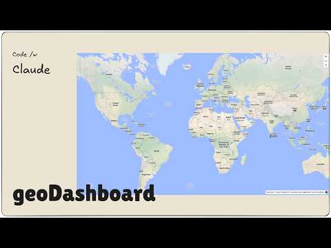
Featured Project
geoDashboard: A cloud-based platform for managing GeoData, enabling efficient resource monitoring, data collection, task automation, report manager system, and advanced data analysis with powerful visualization tools.
A personal note
I’m building a living map of Italy, one municipality at a time.
Not a finished database, but a system that grows with my
understanding.
Each place is observed, revisited, and re-read over time.
Boundaries matter less than patterns, gradients, and trajectories.
Data here is not just collected — it is interpreted.
Some pages are dense, others are sparse, by design.
Uncertainty is visible, not hidden behind scores or labels.
This project is independent, slow, and intentionally incomplete.
It exists to understand territory, not to sell conclusions.
A map that evolves as I do.